


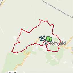

12.2 km | 20 km-effort


User


FREE GPS app for hiking
 SityTrail
IGN / Geographical institutes
SityTrail World
The world is yours!
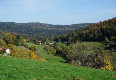
Trail Walking of 8 km to be discovered at Grand Est, Bas-Rhin, Le Hohwald. This trail is proposed by zazie.
Parcours extrait du magazine Vadrouille 2016 - Alsace n°2

Walking

Walking
Walking
Walking
Walking
Walking

Snowshoes
Walking
Walking
promenade à l ombre et entre grappes de raisins.